The Most Photographed Point on the Appalachian Trail McAfee Knob || JNF
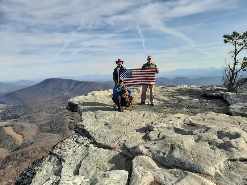 |
| Richard, Ryan, and I are at the summit of McAfee Knob. |
As I analyzed the Appalachian Trail Map #4 from 1993. It occurs to me that it has been 25 years since I set foot on this part of the trail. Generally, I have a great memory of the trail, but this time memory escapes me. Lost are the details of that hike. Which makes this hiking like hiking a new section of trail.
McAfee Knob is a very popular day hike and is known as the most photographed point on the Appalachian Trail. From the parking lot off VA-311, you have two routes from which to pick for this 8.3-mile out-and-back hike. The easiest of the two is to take the fire road. The fire road will be an easy/moderate hike up to the point where the fire road intersects the Appalachian Trail. If you are looking for a moderate/strenuous hike, then take the AT.
My friends Richard, Ryan, and I decided. That we would take the fire road up Catawba Mountain to McAfee Knob. Located at an elevation of 3,197ft, and returns to the car via the Appalachian Trail.
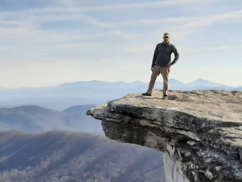 |
| The required photo at McAfee Knob. |
During peak hiking season, it can be very difficult to find parking at the trailhead parking lot. There will also be a steady flow of hikers on the trail. If you want to get a jump on the trail and catch a sunrise at the summit. There's a good chance you won't be the only person at the top.
 |
| A rare sight, no one at the summit of McAfee Knob |
Being at the summit with nobody there can be done, but might be short-lived. The popularity of this hike takes a toll on the trail. Luckily, this section of the trail sits in the 120-mile section. That is maintained and protected by volunteers from the Roanoke Appalachian Trail Club. They do an amazing job! You can support them by volunteering or donating here.
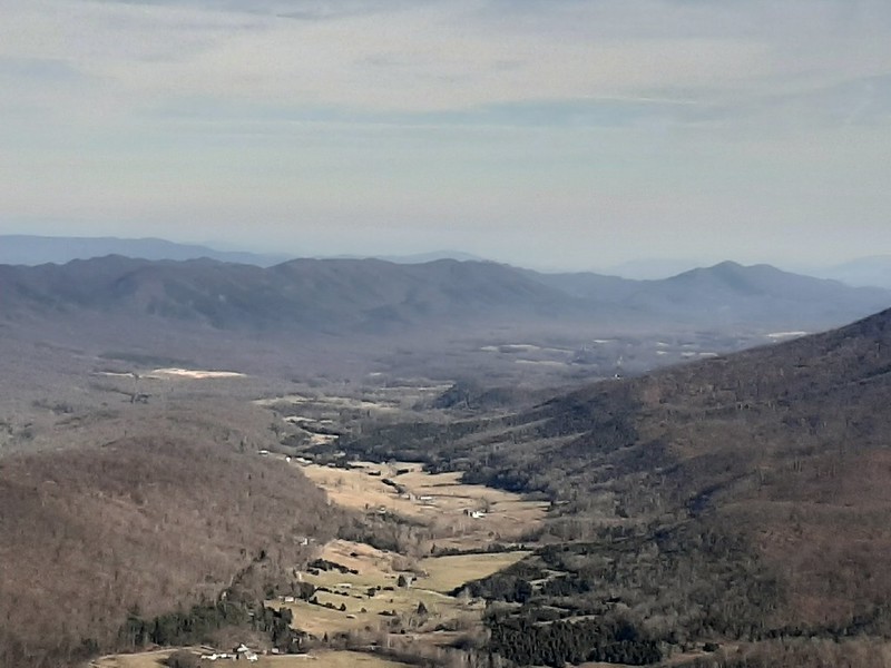 |
| Catawba Valley. |
In the picture above, just left of the valley, is Gravley Ridge. This is the location of The Murder Hole Cave. The cave is on private property, and you must have permission to visit it. It might be a neat side trip after the hike.
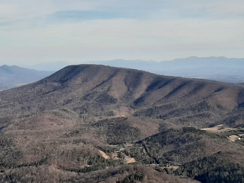 |
| Tinker Cliffs |
Pictured above is Tinker Mountain and the summit point known as Tinker Cliffs. You can reach Tinker Cliffs by way of the Appalachian Trail. McAfee Knob, Tinker Cliffs, and Dragon's Back make up what is called the Virginia Triple Crown. A 35-mile loop that links the three hikes on the Appalachian Trail together.
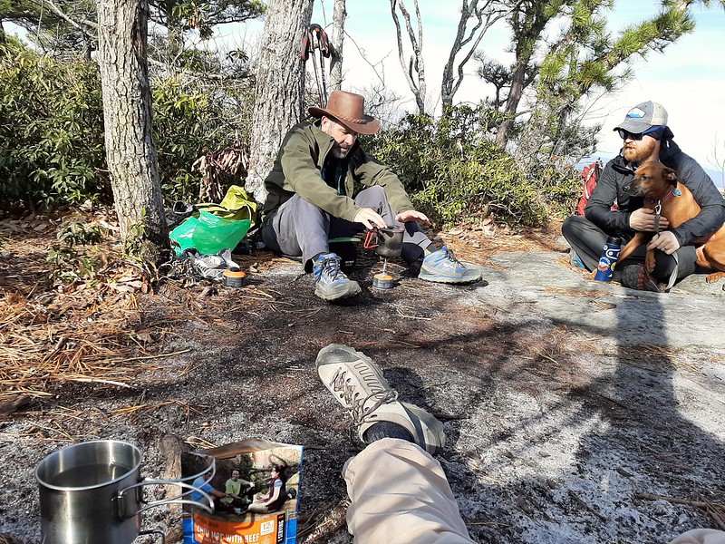 |
| Lunch Break |
Our group made it to the summit faster than we had planned. This caused us to have an early lunch. While preparing lunch, the wind started to pick up a little. It was nice to have the mountain laurel provide a windbreak.
If you decide to make this hike overnight. There are two AT Shelters near McAfee Knob. South of the summit is Catawba Mountain Shelter. The shelter will accommodate 8 people. There are also overflow campsites just north of the shelter and a spring to get water. North of the summit is Campbell Shelter. This shelter will also accommodate 8 people. Located 0.10 miles from the shelter is another spring. RATC updates its Facebook page during the summer months on the spring water levels. During peak season, other hikers might have the same plan as you. As a reminder, camping and campfires are restricted to designated sites. Fires are restricted to metal fire rings only. There is no camping at the summit of McAfee
We didn't hit the crowds that most people experience, and that was a good thing. Whether you plan this hike to catch a sunrise or sunset. An overnighter, or tackle the Virginia Triple Crown. You need to plan on there being a high number of trail users. To solve some of the trailhead parking and safety issues. Navigate to my related on how you can help to improve trailhead access to McAfee Knob.
To see more photos related to this post and the Jefferson National Forest, navigate to Navigate To Your Adventure on Flickr
Now It's Your Turn-
Leave a comment if you have taken a photo on McAfee Knob. Is McAfee Knob on your bucket list?


Comments