Fridley Gap Loop || GWNF
If you are looking to get a day hike that has about every gem packed in a 6.2-mile loop, then the Fridley Gap Loop located in the George Washington National Forest just might be your answer.
Just northeast of Harrisonburg, Virginia located in the George Washington
National Forest. Fridley Gap Loop is a 6.2-mile circuit hike that provides beautiful mountain streams, a swimming hole, prehistoric fossils, rugged trails, and backcountry campsites.
A large parking lot is located at the end of Airey Lane. Be mindful to not block access to private property, which is on the east side of the parking lot. Just a few feet outside of the parking lot, you will see the trailhead sign


In my experience, the George Washington National Forest is a little more austere and rugged than the popular hikes of Shenandoah National Park. This is a great hike to get away from the crowds that occupy the national park. Plan for this hike to take you and your group about 4.5 hours to complete.

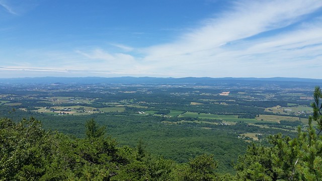
We could not have asked for a clearer view from the top of Grubbs Overlook. Looking westward into the Harrisonburg Valley.
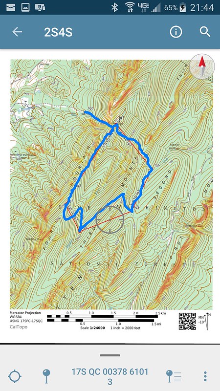
While there are numerous maps online that I could have used on this day hike. I made a georeferenced PDF map using Caltopo. I then used the Avenza Map app to track our route and keep up with where we are on the trail. Currently, I am using the free recreational use app, and I really like how this app works.
On Third Mountain, looking back at Fourth Mountain, which we climbed to reach the rocks at Grubbs Overlook. This section of the Massanutten South Trail follows a small double-track trail that is full of wildflowers this time of year. I also found some blackberry bushes along the trail.


On our last leg of the hike, we had to climb back over Third Mountain and were greeted with a rugged descent. We did take a short photo op to catch a view back into the valley.
While I am not a Paleontologist, I think we found some worm track fossils on a rock near the pool on our way back to the trailhead.
This was a fantastic day hike enjoyed by all in our group. It would also be a great overnight backpacking trip. Remember to always carry the 10 essentials no matter how long you will be on the trail.

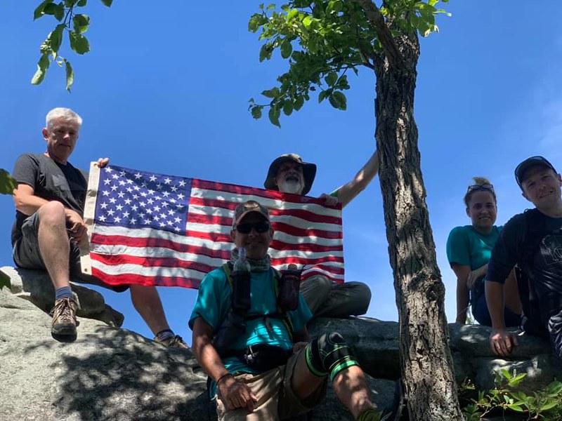
The rock at Grubbs Overlook was a great place to take a photo with the American Flag.
Photo courtesy of Richard.
A large parking lot is located at the end of Airey Lane. Be mindful to not block access to private property, which is on the east side of the parking lot. Just a few feet outside of the parking lot, you will see the trailhead sign

Signage in the National Forest can be a little worse for wear or lacking altogether.

The first half-mile of the trail follows the stream bed.

I know Leave No Trace rules state don't stack rocks, but this is a little over the top!

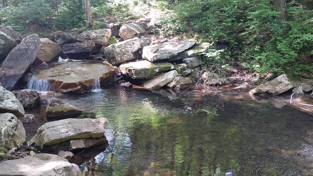
The swimming hole with the tabletop falls. The mountain water is still freezing in late June.
There are campsites just upstream from the swimming hole at the intersection with Fridley Gap Trail and Massanutten South Trail. Continue right at this intersection, cross the run, and begin your ascent up Massanutten South Trail.
While there are numerous maps online that I could have used on this day hike. I made a georeferenced PDF map using Caltopo. I then used the Avenza Map app to track our route and keep up with where we are on the trail. Currently, I am using the free recreational use app, and I really like how this app works.
Screenshot of our route on a georeferenced PDF map made by using Caltopo, viewed in the Avenza Maps app
On Third Mountain, looking back at Fourth Mountain, which we climbed to reach the rocks at Grubbs Overlook. This section of the Massanutten South Trail follows a small double-track trail that is full of wildflowers this time of year. I also found some blackberry bushes along the trail.


Beautiful wildflowers line a section of the Massanutten South Trail.
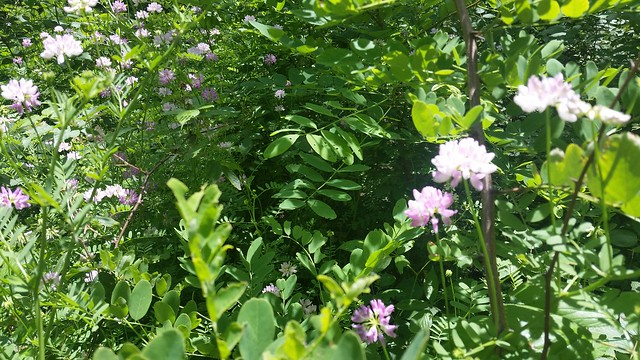 |
| I believe this wildflower is a Purple Crown vetch |
On our last leg of the hike, we had to climb back over Third Mountain and were greeted with a rugged descent. We did take a short photo op to catch a view back into the valley.
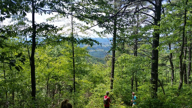 |
| A view into the valley |
While I am not a Paleontologist, I think we found some worm track fossils on a rock near the pool on our way back to the trailhead.
 |
| Worm Tracks? |
This was a fantastic day hike enjoyed by all in our group. It would also be a great overnight backpacking trip. Remember to always carry the 10 essentials no matter how long you will be on the trail.
To see more photos of Fridley Gap Loop, navigate over to Navigate To Your Adventure on Flickr
Now It's Your Turn-
Have you hiked the Fridley Gap Loop or other hikes in the George Washington National Forest? Please leave a comment.


Comments